Convert to Military Grid Reference System (MGRS)
Contents
[
Hide
]
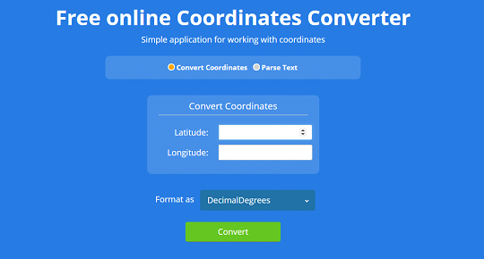
Use the Aspose.GIS for .NET library to calculate a position in a Military Grid Reference System (MGRS) format. The GeoConvert class allows you to convert Latitude/Longitude coordinates to MGRS format and vice versa.
Live Example
Aspose.GIS for .NET / C# presents you online free the “Convert to MGRS” application, where you may to investigate the functionality and quality it works.
Code sample - Convert to MGRS
The following code snippet shows you how to convert to MGRS (Military Grid Reference System).
Platform - .NET / C#
We supports Framework 4.7 or later under Windows, and .NET Core 2.0 or later under Windows or Linux