GeoJSON to JPEG Converter
Use the Aspose.GIS for .NET library to implement the GeoJSON to JPEG Converter.
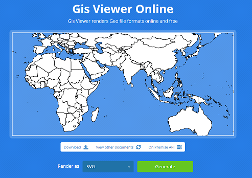
Live Example
Aspose.GIS for .NET / C# presents you online free the “GeoJSON to JPEG Converter” application, where you may to investigate the functionality and quality it works.
Code sample - GeoJSON to JPEG Converter
The following code snippet shows you how to implement GeoJSON to JPEG Converter. The below code create an image map using a GeoJSON layer. Then we save the map to JPEG format. If you specify a spatial reference system for the map, all loaded layers will be converted to it. The sample uses the specified style to draw lines. The library also has styles for points, lines, and surfaces.
This sample show general possibilities. Aspose.GIS for .NET has wide features to render maps.
Platform - .NET / C#
We supports Framework 4.7 or later under Windows, and .NET Core 2.0 or later under Windows or Linux